When it comes transportation engineering & construction, BIM is a game changer because of the very fact that often, newly proposed roads and highways bisect or clash with existing underground or overhead infrastructure for water or wastewater services, electrical and gas piping etc.
BIM provides a common platform for all parties involved to share each phase of the project and resolve any conflicts with the individual components or schedule before time or money is spent on the ground. Our BIM team coordinates and resolves any potential clashes with the existing conditions and the clash free model then progresses to construction, offsite fabrication, and then eventually operation.
Furthermore, with its visual options, BIM enables accurate decision making on drainage, geometrics, quantity takeoff, lane configurations, cut/fill, analysis & simulation, site grading and construction documentation. Multidiscipline engineers and project teams can explore various alternative scenarios, optimise designs and perform value engineering collaboratively.
In short, our BIM services provide designers, supply chain, constructors, process partners and asset owners better coordination, constructability, operability and maintainability. We provide you with 4D scheduling tools to plan, track and control various stages in the project lifecycle, from concept to construction.
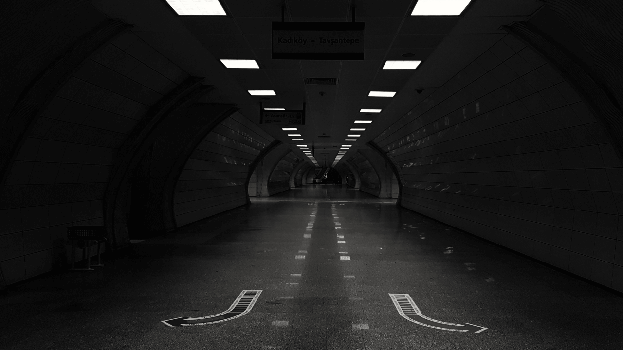
BIM can also be used for Tunnel information modelling. Design and building of tunnels carry huge risks since it involves complex interconnected systems of multi-disciplinary engineering elements and complex geometries. With the advent of BIM risk is minimized to a great extent.
Off-shore structures that are built in marine as well as oil & gas industrial sectors differ significantly from other projects and require a new approach to organization of design, construction and operation especially because of space constraints, safety concerns and accessibility factors. These challenges are largely met by the adoption of BIM technology that collect, integrate and transfer data in a digital format for its repeated use at different stages of the project life cycle.
Inefficient change management in one part of the structure can mean undesired adjustments to another part which can result in an increase in the overall dimensions and mass of the equipment. However engaging our team with core experience in offshore structure modeling, you can manage & resolve this issue smoothly by digitizing and integrating design & change management.
Dependencies & relationships between different parts and systems are established within the single information space of the project from the planning stage. Intelligent parameterization of objects & design information, sequencing the various stages of the project improves collaboration by a great deal.
Our Integrated BIM Management approach makes sure that you can plan and manage future changes by visually examining & tracing the routes of the introduced changes to the project with time and manpower minimum resources. Accurate material take offs, construction sequencing, logistics planning and installation schedules can be coordinated with perfection utilizing our BIM model.
Tagging and logging of each asset component makes sure that construction and fabrication data are synchronized, stored and retrieved from a single & common digital environment and help produce on time fabrication shop drawings. The model embeds important information on all parameters of operation including standard schedules for monitoring the technical condition, cost estimates for maintenance and repairs, management of emergency situations etc. It is subsequently updated with site changes after construction handed over to the operator who in turn, utilizes this As-built model for its operation and maintenance.

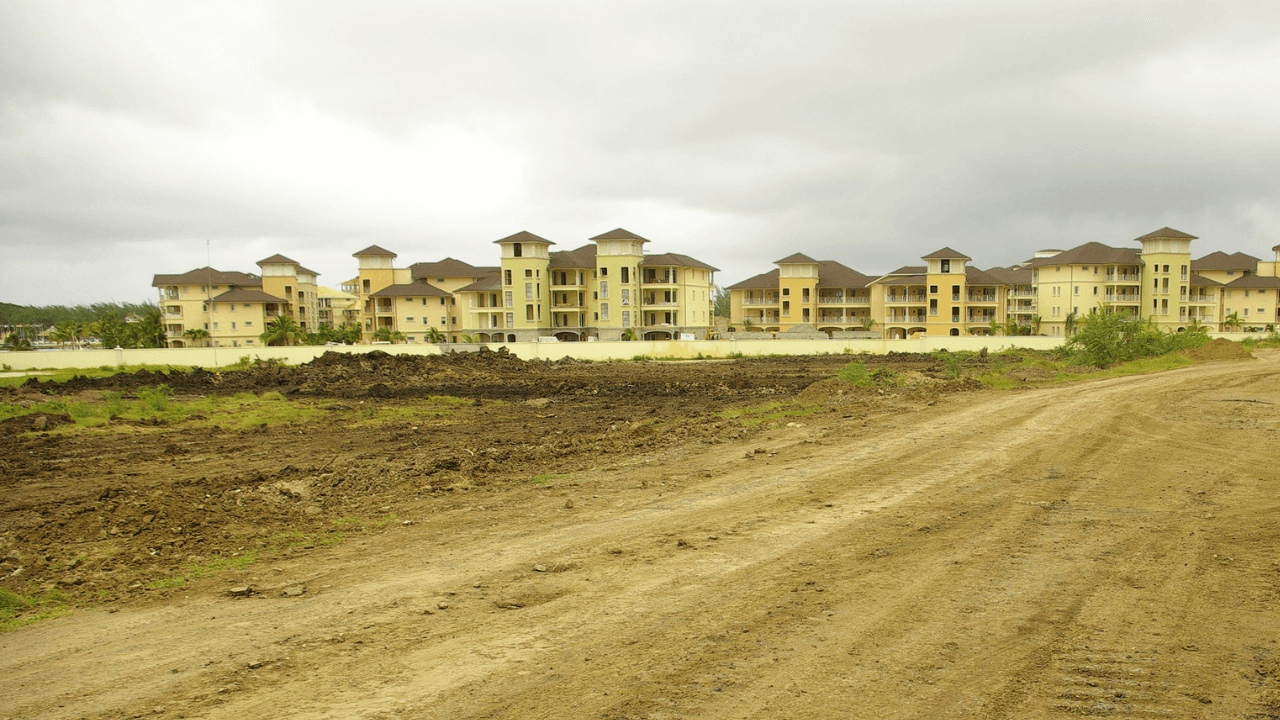
BIM has an important role to play at the time of initial land or site development. We have worked on multiple land development projects across the world incorporating topographical surfaces, buildings, retaining wall, roads, parking area, street lighting, landscaping, hardscaping etc.
This detailed site model provides data continuity when subsequently prepped up and reused for building placement, underground utility development etc. Laser scan survey is a common tool used or land development to collect the topographical data of the site.
Our engineers then import this data into a 3D BIM model that can be directly loaded in your software. A well rendered architectural presentation model can provide the regulators and authorities a much better understanding of the project, and can help you get construction permits and approvals.
The conceptual model we generate for you during the design stage can be easily edited or manipulated. As the project moves to construction phase, we update the model with more details and this becomes the working model using which architects collaborate with other trade engineers and technical consultants.
Any possible clashes are resolved among multidisciplinary engineering before construction. We also help you update the model with as-built conditions at the end of construction stage.
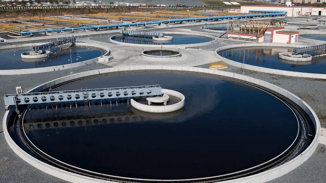
BIM plays a critical role in simplifying the technical complexity involved in design & construction of water treatment plants, and increasing the efficiency of operation & asset management of completed utilities.
The accuracy of our BIM services enable engineers, technical consultants, planning boards and contractors engaged in water utility projects to explore and implement innovative designs and ‘what-if’ scenarios to test and simulate real-world performance.
Our BIM engineers are well-versed in BIM modeling of pipelines & underground utilities as well as their clash coordination with other mechanical, plumbing and civil elements in water and wastewater network. Watersheds, dams, storm water facilities, drainage, water treatment plants are modeled and integrated into the coordinated BIM model.
BIM has revolutionized the way underground and overhead utilities are designed, constructed, operated and renovated, like never before by blowing the fog of uncertainty often associated it. It seamlessly and dynamically integrates geological parameters and construction data into comprehensive 3D digital model.
The topographic data, location, coordinates and other details of underground utilities such as piping, electric cables and telecom lines can now be visualized and handled in one Common Environment and this serves a powerful and intuitive tool for all stakeholders involved.
The Underground BIM model that we develop could be shared and reviewed by engineers, planners and other professionals involved in the project and utilized for many aspects of local planning and future urban designs. We provide coordinated and clash free models of various underground utilities such water mains, wastewater pipes, natural gas pipeline, telecom, electricity distribution, fiber optics, storm drains etc. Working model is updated to LOD 400 Fabrication detailing for offsite and workshop fabrication.